News Summary
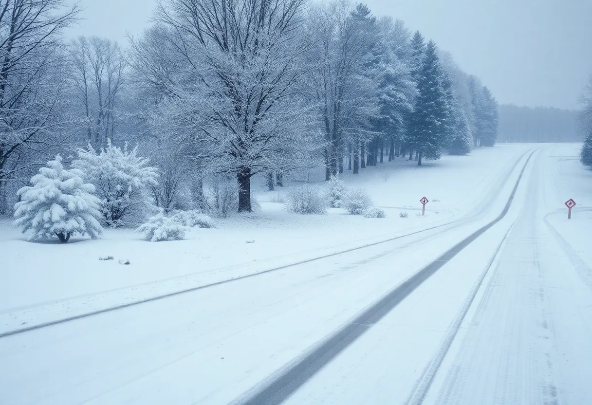
North Carolina is bracing for a significant winter storm predicted to occur from February 19 to 20, 2025. The storm may bring a mix of rain, snow, and ice, leading to potential disruptions across the state. Areas north of I-40 are most likely to see snow accumulation, while southern regions may experience mixed precipitation. Residents are urged to prepare for possible ice-related power outages and to stay informed as forecasts develop leading up to the storm.
Winter Storm Warning for North Carolina: February 19-20, 2025
The forecast for North Carolina is gearing up for what could become an interesting winter weather event! On Wednesday, February 19, through early Thursday morning, February 20, a **winter storm is expected to hit the area**. Residents should prepare for possible disruptions, as a **Weather Impact Alert** has been issued for this time period.
Track and Timing of the Storm
It all starts with a storm system now hanging out **3,200 miles away** from Raleigh, located south of the Aleutian Islands in the Pacific Ocean. This storm is making its way southward across the United States, bringing along a mix of wintery possibilities! With **marginally cold air** currently in place across the Eastern United States, the potential for a winter storm is on the rise.
As the storm makes its journey, **forecast models suggest a mix of precipitation**, which could include rain, snow, and ice. However, it’s important to note that the exact **amount of snowfall** remains uncertain at this point, with forecasters still working four to five days in advance of the storm.
What to Expect
The type of precipitation we can anticipate depends largely on the storm track. Here are a few scenarios:
- If the storm hugs the **Appalachians**, we might see mostly cold rain.
- A storm that stays closer to the **coast** could bring sleet and freezing rain.
- A more robust offshore system could shower us with **higher snowfall amounts**.
Winter wonderland alerts are rare occurrences for North Carolina, making this potential event particularly noteworthy. The discrepancy in **forecast models** shows differences in projected outcomes, especially regarding where the **rain and snow line** will be. One model suggests that the Piedmont region could see heavier snow, while another indicates the Triad may experience higher freezing levels leading to a greater amount of rain.
Where Will the Snow Accumulate?
For those wondering where the snow might actually accumulate, areas **north of I-40** stand a better chance of seeing snow, while those to the **south** may be subjected to more mixed precipitation scenarios. Central North Carolina should expect the **significant threat of ice**, which can cause serious setbacks like power outages and damage to trees and power lines. Residents in the coastal areas, particularly in southeastern North Carolina, can generally expect to experience mostly rainfall.
What’s Next?
While several inches of snow could pile up in the more northern counties, those in southern regions are forecast to see lesser amounts. Keep an eye out for updates on **accumulation predictions** which should come in on Monday of next week, along with forecasts focusing on travel impacts and potential power outages.
As the storm approaches, expect ongoing refinements to the forecast models, which should offer a clearer picture late in the weekend or as we head into next week.
Stay Informed and Prepare!
Winter weather can introduce some unexpected surprises, so it’s best to stay prepared and well-informed in the days leading up to the storm. Stock up on necessary supplies, keep an emergency kit ready, and be sure to plan your travel around the incoming storm system!
So, **North Carolina**, get your boots and shovels ready! We might just be in for a winter treat this February. Stay cozy and safe!
Deeper Dive: News & Info About This Topic

Author: STAFF HERE LEXINGTON WRITER
The LEXINGTON STAFF WRITER represents the experienced team at HERELexington.com, your go-to source for actionable local news and information in Lexington, Fayette County, and beyond. Specializing in "news you can use," we cover essential topics like product reviews for personal and business needs, local business directories, politics, real estate trends, neighborhood insights, and state news affecting the area—with deep expertise drawn from years of dedicated reporting and strong community input, including local press releases and business updates. We deliver top reporting on high-value events such as Woodland Art Fair, Crave Food and Music Festival, and Railbird Festival. Our coverage extends to key organizations like Commerce Lexington and Blue Grass Community Foundation, plus leading businesses in education, manufacturing, and technology that power the local economy such as University of Kentucky, Toyota Motor Manufacturing, and Lexmark. As part of the broader HERE network, including HEREBowlingGreen.com and HERELouisville.com, we provide comprehensive, credible insights into Kentucky's dynamic landscape.


