South Carolina, August 23, 2025
News Summary
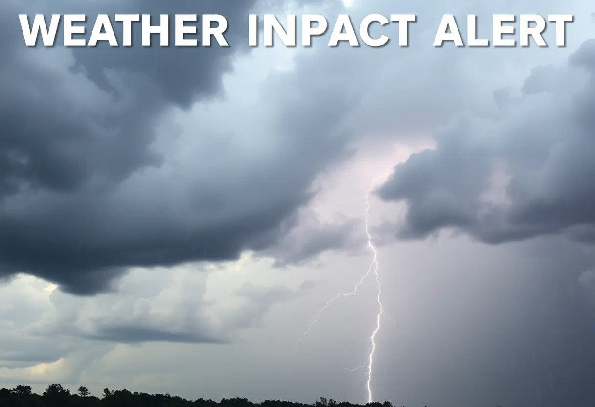
A Weather Impact Alert has been issued for much of South Carolina from Friday evening to early Sunday morning, predicting heavy rainfall and thunderstorms. Officials warn of flash flooding risks in low-lying areas and hazardous driving conditions due to anticipated heavy rain. Motorists are advised to exercise caution and avoid flooded roadways. Additionally, there’s a high rip current risk associated with Hurricane Erin, a Category 2 storm currently off the coast. With drier conditions expected to follow, residents are encouraged to stay informed and prepared.
Columbia
A Weather Impact Alert has been issued for much of South Carolina from Friday evening through early Sunday morning, with expectations of heavy rainfall and possible thunderstorms across the region. The alert is valid until 2 a.m. on Sunday and includes most counties in the Midlands, with Kershaw, Fairfield, and Lee counties being the notable exceptions. The alert also extends to the Central Savannah River Area (CSRA) and the Lowcountry.
Authorities are particularly concerned about flash flooding in low-lying areas and on roadways, especially during heavy downpours. As a result, motorists are urged to exercise caution as heavy rainfall is expected to impact driving conditions. This warning comes in light of traffic disruptions, such as the closure of Dutch Fork Road between Wessinger Road and Three Dog Road due to a crash, causing significant traffic delays and detours.
The heavy precipitation forecast is primarily driven by a weather system that is pulling moisture from a stationary front positioned off the Lowcountry coastline, extending into southern Georgia. As moisture levels rise, the likelihood of showers and thunderstorms increases across the area, particularly heading into Saturday morning, which is expected to start off mostly cloudy. As the day progresses, light rain may develop late in the morning followed by another round of showers in the afternoon. Storm chances are predicted to persist throughout Saturday and into Sunday, with greater intensity expected along the coast.
Local officials have provided several safety tips for residents during this weather alert. They advise avoiding flooded roadways and turning around if road markings become obscured by water. Furthermore, residents are encouraged to stay updated on local alerts and radar conditions via weather apps and to anticipate extended travel times during periods of heavy rainfall.
The National Weather Service had previously indicated the potential for strong to severe storms affecting the Columbia area from Thursday afternoon through Friday evening. The forecast highlighted potential threats including damaging winds, hail, heavy rain, and flash flooding. There is also a possibility of isolated tornadoes, particularly on Friday.
Additionally, South Carolina beaches are under a high rip current risk alert due to Hurricane Erin, which is currently a Category 2 storm with sustained winds of 110 mph, moving northward. Although Hurricane Erin is not expected to make landfall in South Carolina, its presence poses increased risks for swimmers in neighboring coastal areas.
A tropical storm warning has been issued for the Turks and Caicos Islands and the Southeast Bahamas due to Erin. It is anticipated to weaken to a Category 1 storm as it moves away from the U.S. coastline. In addition to Erin, two other disturbances in the Atlantic are under observation, one near the northern Antilles with a 60% chance of development and another located southwest of the Cape Verde Islands with a 40% chance of becoming a tropical system.
Looking ahead, after this period of inclement weather, the Midlands can expect drier conditions with rising temperatures in the low 90s as the week progresses.
FAQ
What areas are included in the Weather Impact Alert?
The alert covers most counties in South Carolina’s Midlands, CSRA, and the Lowcountry, excluding Kershaw, Fairfield, and Lee counties.
What are the primary dangers expected during this weather alert?
The main concerns include flash flooding in low-lying areas, dangerous road conditions due to heavy rain, and the possibility of strong storms, including isolated tornadoes.
What safety tips should residents follow during heavy rainfall?
Residents are advised to avoid flooded roadways, monitor local weather alerts, utilize local radar apps, and allow extra travel time when driving during heavy rain.
What is the status of Hurricane Erin?
Hurricane Erin is a Category 2 storm currently with sustained winds of 110 mph, moving northward, but it is not expected to make landfall in South Carolina. A tropical storm warning is in effect for the Turks and Caicos Islands and Southeast Bahamas.
Key Features of the Weather Impact Alert
| Feature | Details |
|---|---|
| Alert Duration | Friday evening to 2 a.m. Sunday |
| Affected Areas | Most counties in Midlands, CSRA, Lowcountry; excludes Kershaw, Fairfield, Lee |
| Main Risks | Flash flooding, strong storms, possible tornadoes |
| Safety Recommendations | Avoid flooded roadways, monitor alerts, allow extra travel time |
| Hurricane Status | Category 2, moving north, not expected to impact SC |
| Upcoming Weather | Drier conditions expected with rising temperatures in the low 90s next week |
Deeper Dive: News & Info About This Topic
HERE Resources
Lexington School District Implements Perry Weather System for Safety
Severe Thunderstorm Alert Hits Lexington and Aiken Counties
20 People Struck by Lightning at Dominion Beach Park
Lexington County Remembers Devastating Tornado Outbreak
Columbia Faces Loss of Public Art Amid Urban Changes
Lexington Community Reflects on Tornado Resilience
Flood Advisory Issued for Lexington County Due to Heavy Rainfall
Lexington School District Two Implements New Weather Safety Systems
Lexington County Commemorates 30th Anniversary of F3 Tornado
Unsettled Weather Pattern Persists in New York City
Additional Resources
- WLTX: Weather Impact Alert in South Carolina
- Wikipedia: Weather
- The State: Local News
- WLTX: Hurricane Erin and Its Impacts
- Encyclopedia Britannica: Hurricane

Author: STAFF HERE LEXINGTON WRITER
The LEXINGTON STAFF WRITER represents the experienced team at HERELexington.com, your go-to source for actionable local news and information in Lexington, Fayette County, and beyond. Specializing in "news you can use," we cover essential topics like product reviews for personal and business needs, local business directories, politics, real estate trends, neighborhood insights, and state news affecting the area—with deep expertise drawn from years of dedicated reporting and strong community input, including local press releases and business updates. We deliver top reporting on high-value events such as Woodland Art Fair, Crave Food and Music Festival, and Railbird Festival. Our coverage extends to key organizations like Commerce Lexington and Blue Grass Community Foundation, plus leading businesses in education, manufacturing, and technology that power the local economy such as University of Kentucky, Toyota Motor Manufacturing, and Lexmark. As part of the broader HERE network, including HEREBowlingGreen.com and HERELouisville.com, we provide comprehensive, credible insights into Kentucky's dynamic landscape.
