Columbia, South Carolina, August 31, 2025
News Summary
The South Carolina Department of Education has partnered with the Critical Response Group to create digital maps for all public K-12 schools in the state. The initiative aims to improve emergency response efficiency and addresses rising safety concerns in schools following recent violent incidents. The maps will feature important details such as floor plans and access points and will be accessible only to law enforcement and first responders. Full implementation is expected by early 2026, ensuring that responders are better prepared during emergencies.
Columbia, South Carolina — The South Carolina Department of Education has launched a new initiative in collaboration with the Critical Response Group to create detailed digital maps for every public K-12 school in the state. This project aims to enhance the efficiency of first responders during emergencies, especially in response to the rising concerns about school violence.
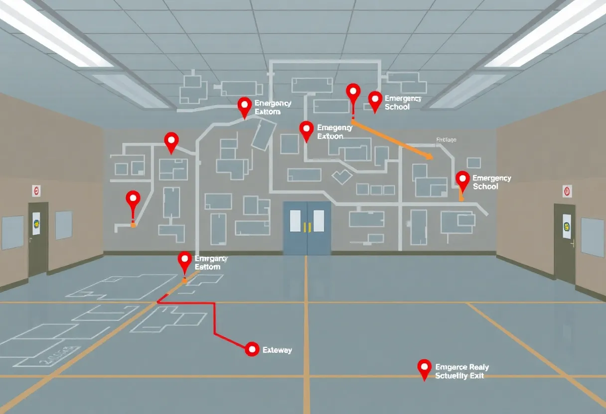
The digital maps will include comprehensive features such as floor plans, stairwells, and access points, facilitating police and firefighters in effectively navigating school buildings during critical situations. Access to these maps will be strictly regulated, ensuring they are available only to law enforcement and first responders through secure platforms on mobile devices such as smartphones and laptops.
This initiative comes in the wake of a tragic shooting incident at a Catholic school in Minneapolis that resulted in the death of two children and left more than a dozen others injured. Following this event, many parents in South Carolina have voiced concerns over the safety of their children while at school, prompting state officials to prioritize emergency preparedness.
Newberry County Sheriff Lee Foster has highlighted the significance of familiarizing first responders with school layouts, particularly during active shooter scenarios when every second counts. The Critical Response Group is already in the process of visiting all public schools across South Carolina to compile and create these vital maps.
The South Carolina Department of Education is aiming for full implementation of this mapping system across the state by early 2026. This initiative not only aims to provide critical information in times of crisis but also addresses the challenge many law enforcement agencies face in maintaining up-to-date school layout maps. As new buildings are constructed, the digital mapping initiative will help ensure that all information remains current, reducing potential confusion for first responders in a high-stress environment.
Despite the significance of this initiative, the Department of Education has not released information regarding the project’s funding or associated costs, which has raised questions among various local communities and news organizations.
Supporting Details
The digital mapping initiative serves as a proactive measure, responding to a broader national conversation about school safety and the well-being of children in educational environments. With increasing reports of violence in schools across the United States, parents and administrators alike are looking for ways to enhance safety protocols that protect students.
First responders equipped with detailed school layouts stand to develop a faster, more organized response during emergencies, which could potentially save lives. By streamlining communication and providing valuable data in real-time, South Carolina officials hope to foster a safer atmosphere for both students and educators within public schools.
Background Context
The Critical Response Group’s involvement illustrates a growing trend of integrating technology with emergency preparedness. Digital mapping has emerged as a vital resource for public safety agencies, allowing for more efficient mobilization during crises. Circling back to the tragic events at the Minneapolis school, it underscores an urgent need within many educational systems today to improve safety and emergency response capabilities. The increasing concern among parents and educators regarding school violence adds pressure to expedite initiatives like the one introduced in South Carolina.
| Feature | Description |
|---|---|
| Digital Maps | Detailed maps for all public K-12 schools in South Carolina. |
| Access Control | Restricted to first responders and law enforcement only. |
| Implementation Timeline | Full statewide access expected by early 2026. |
| Emergency Focus | Aimed at enhancing first responders’ effectiveness during emergencies. |
| Key Features | Floor plans, stairwells, access points included in the maps. |
Deeper Dive: News & Info About This Topic
HERE Resources
Mandatory Evacuations in Greenville and Pickens Counties Due to Wildfires
Wildfires Rage Through Carolinas, Evacuations Intensify
Lake Wind Advisory Issued for South Carolina Boaters
Irmo Fire Crews Combat Icy Conditions with New Safety Tech
Los Angeles Wildfires Displace Thousands as Chaos Ensues
Winter Weather Alert for South Carolina: Brace for Icy Conditions!
Emergency Measures in Malibu as Franklin Fire Rages On
Additional Resources
- WLTX: South Carolina School Digital Maps Emergency Response
- QC News: South Carolina Secures School Resource Officers for Every Public School
- WPDE: SC School Districts Risk Losing Federal Funds
- Greenville Online: SC Governor McMaster Visits Duncan Elementary on School Safety
- WSOC TV: SC Secures Funding for School Resource Officers
- Wikipedia: Emergency Response
- Google Search: South Carolina School Safety
- Google Scholar: School Safety Initiatives
- Encyclopedia Britannica: School Safety
- Google News: South Carolina Education Initiatives

Author: STAFF HERE LEXINGTON WRITER
The LEXINGTON STAFF WRITER represents the experienced team at HERELexington.com, your go-to source for actionable local news and information in Lexington, Fayette County, and beyond. Specializing in "news you can use," we cover essential topics like product reviews for personal and business needs, local business directories, politics, real estate trends, neighborhood insights, and state news affecting the area—with deep expertise drawn from years of dedicated reporting and strong community input, including local press releases and business updates. We deliver top reporting on high-value events such as Woodland Art Fair, Crave Food and Music Festival, and Railbird Festival. Our coverage extends to key organizations like Commerce Lexington and Blue Grass Community Foundation, plus leading businesses in education, manufacturing, and technology that power the local economy such as University of Kentucky, Toyota Motor Manufacturing, and Lexmark. As part of the broader HERE network, including HEREBowlingGreen.com and HERELouisville.com, we provide comprehensive, credible insights into Kentucky's dynamic landscape.
