News Summary
Residents in the Midlands should prepare for severe thunderstorms as the National Weather Service warns of strong winds and possible hail this weekend. Thunderstorms are expected, with gusts reaching up to 60 mph. Individuals in affected areas like Columbia, Lexington, and Aiken should secure outdoor items and seek shelter to stay safe. The storm threat will persist into Monday, with potential for heavy rainfall and even isolated tornadoes. Ensuring safety with emergency kits and awareness of weather alerts is advised as storm chances remain high throughout the week.
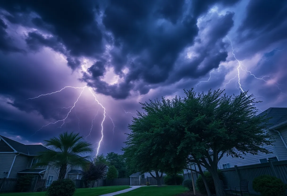
Severe Thunderstorm Warnings Blanketing the Midlands!
Hey there, Midlands residents! Buckle up because we’ve got some **serious weather** hitting the area. The National Weather Service (NWS) has just wrapped up an urgent update for strong thunderstorms that are expected to roll through until 10 p.m. tonight. If you live in Northwestern Orangeburg, Central Orangeburg, Lexington, Aiken, Barnwell, or Bamberg counties, consider this your heads-up!
What to Expect
These storms are packing a punch, with wind gusts that could reach as high as 50 mph. Wow, right? Doppler radar has been busy tracking the wild weather, with strong thunderstorms forming a line that stretches from about 13 miles southwest of Gaston all the way up to 13 miles northeast of Williston, plus an additional 6 miles southeast of Aiken State Park.
As these thunderstorms race through the area at about 25 mph, residents can expect gusty winds to potentially knock down tree limbs and toss around any unsecured items. Make sure to secure your outdoor furniture and be cautious of flying debris if you’re out and about. The specific hotspots for the storm alerts include cities and communities such as Orangeburg, Barnwell, Bamberg, Denmark, Brookdale, Williston, Blackville, Claflin College, South Carolina State University, and many more!
Stay Safe!
The NWS urges everyone to try and stay safe by seeking shelter indoors if you’re outside. Did you know that lightning strikes the U.S. approximately 25 million times each year? Most of these strikes occur during the summer, and while it may sound like a unique statistic, it results in about 20 fatalities annually. As storms approach, the likelihood of lightning increases and hits its peak when the storm is directly overhead. So if you hear that rumbling in the distance, better find a safe spot!
What’s Coming Next?
Now, turning our attention to the weekend, the weather forecast isn’t getting any mellower. On Sunday, another round of storms is brewing, with the NWS issuing a severe thunderstorm warning for Columbia, Lexington, and West Columbia around 10:40 a.m. This warning is valid until 11:15 a.m., with wind gusts predicted to escalate to a staggering 60 mph along with the possibility of hail.
The storm system that rolled through Saturday night caused quite a commotion, with winds reaching up to 60 mph as well, knocking down branches, trees, and power lines. More than 10,000 customers faced power outages due to the battering winds and heavy rain.
Prepare for Potential Risks
Folks in the Columbia area should really prepare for yet another wave of storms, the greatest threat from which will be damaging winds. Expect severe weather to make its presence known from 10 a.m. to 4 p.m. on Sunday, with additional damaging winds and even the possibility of isolated tornadoes. Yikes!
Looking ahead to Monday, the highest risk of severe weather seems to come in the afternoon and evening. If you don’t want to get soaked, keep an eye on the skies, as up to an inch of rain could accumulate by the time Monday night’s storms wrap up. The good news? After all this, temperatures are expected to hover around a sultry 90°F for most days, so at least it will feel warm, albeit quite humid!
Be sure to keep that umbrella and those emergency kits handy, as daily chances for rain and thunderstorms will linger throughout the week, save for a brief respite on Wednesday. Stay safe, everyone!
Deeper Dive: News & Info About This Topic
HERE Resources
Columbia Unveils Major Downtown Redevelopment Plans
EF-1 Tornado Causes Damage in Chapin, South Carolina
The Vacuum Center Reopens After Lightning Strike Damage
South Carolina Prepares for Thunderstorms Amid Summer Heat
Columbia, SC Faces Extreme Heat and Thunderstorms on Thursday
Columbia, SC Prepares for Scorching Heat and Thunderstorms
Columbia Streams Art Program Awards Micro-Grants to Local Artists
Columbia, S.C. Faces Dangerous Heat Wave and Advisory
Columbia Prepares for Back-to-School Backpack Giveaways
Columbia, SC Faces Extended Extreme Heat Alert This Weekend
Additional Resources
- The State: Severe Thunderstorm Warnings
- Wikipedia: Severe Thunderstorm Warning
- WACH: Midlands Brace for Thunderstorms
- WLTX: Dangerous Heat and Severe Storms
- Herald Online: Weather News Updates
- Encyclopedia Britannica: Thunderstorm
- WIS TV: Power Outages and Storm Damage
- Google Search: South Carolina Severe Weather
- WLTX: Isolated Thunderstorms in the Midlands
Author: STAFF HERE LEXINGTON WRITER
The LEXINGTON STAFF WRITER represents the experienced team at HERELexington.com, your go-to source for actionable local news and information in Lexington, Fayette County, and beyond. Specializing in "news you can use," we cover essential topics like product reviews for personal and business needs, local business directories, politics, real estate trends, neighborhood insights, and state news affecting the area—with deep expertise drawn from years of dedicated reporting and strong community input, including local press releases and business updates. We deliver top reporting on high-value events such as Woodland Art Fair, Crave Food and Music Festival, and Railbird Festival. Our coverage extends to key organizations like Commerce Lexington and Blue Grass Community Foundation, plus leading businesses in education, manufacturing, and technology that power the local economy such as University of Kentucky, Toyota Motor Manufacturing, and Lexmark. As part of the broader HERE network, including HEREBowlingGreen.com and HERELouisville.com, we provide comprehensive, credible insights into Kentucky's dynamic landscape.


