News Summary
On July 21, 2025, central South Carolina prepares for a sweltering day with heat advisories reporting highs near 99°F. Thunderstorms are expected in the afternoon with potential heavy rainfall. Residents are advised to stay hydrated, monitor weather alerts, and prepare for slick road conditions as they navigate the stormy weather. The National Weather Service has issued alerts for a 70% chance of storms, especially in the evening. Make sure to take precautions against heat-related illnesses and unexpected storm damages as the weather shifts throughout the week.
Central South Carolina Braces for Heat Advisory and Stormy Weather!
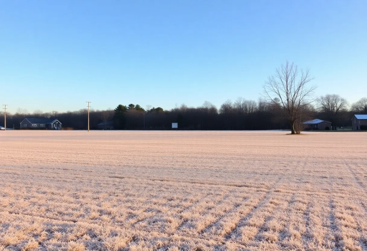
As we dive into summer, residents of central South Carolina are gearing up for a sweltering day! On Monday, July 21, 2025, folks in cities like Columbia, Lexington, and Cayce are being hit with a heat advisory as temperatures are set to soar. With highs nearly touching a sizzling 99°F and heat index values creeping up to 107°F, it’s crucial for everyone to take a step back and prepare for the heat of the day ahead!
Thunderstorm Forecast: Hold Onto Your Hats!
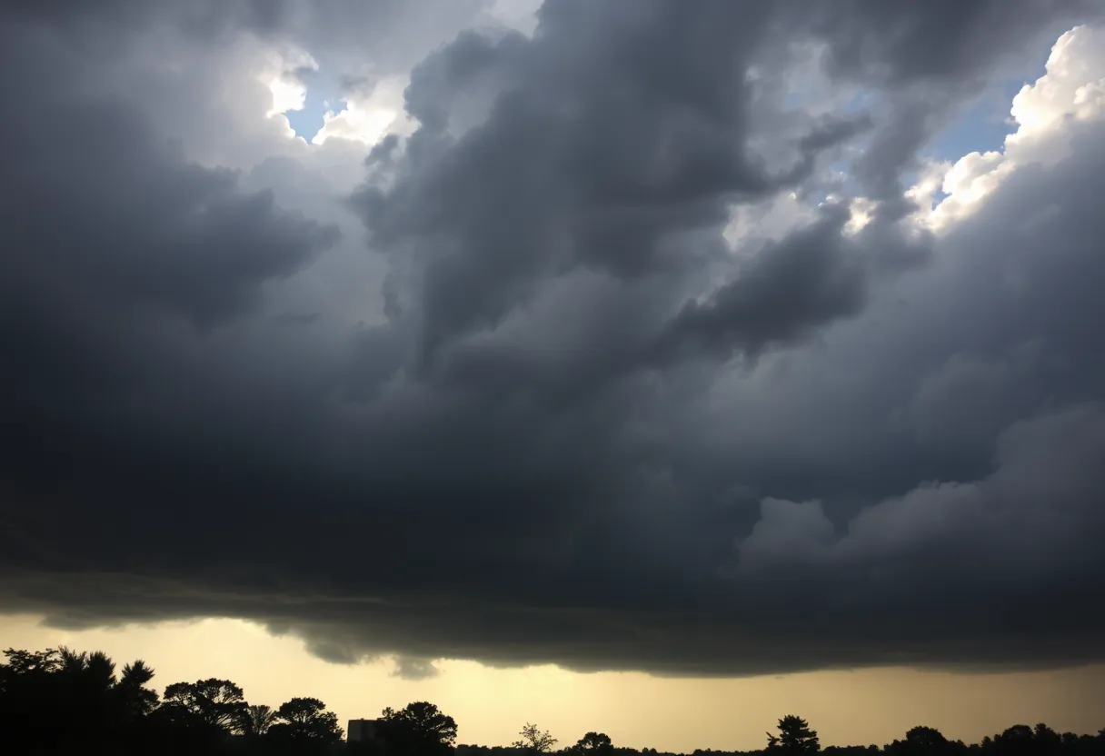
But wait, there is more! Just when you thought it was going to be a routine heatwave, scattered thunderstorms are making an arrival! Expect these early afternoon storms to start rolling in around 2 p.m., growing in intensity as the evening approaches. With this kind of weather, you can look forward to gusty winds, thrilling bolts of lightning, and heavy rainfall that could lead to isolated flooding in specific spots like low-lying areas or places that struggle to drain.
Prepare Those Roads!
Motorists getting ready to hit the roads on I-26 and U.S. 1, brace yourselves! Sudden downpours could make visibility a challenge, creating slick road conditions that could lead to unexpected surprises. Keeping your umbrella handy is sure to save you some trouble as the storms build up throughout the day!
Weather Alerts: Stay on Guard!
The National Weather Service has issued a summer weather alert for central South Carolina as the storm chances ramp up to a brisk 70% by Tuesday. The evening hours are expected to bring widespread storms, but don’t throw out your rain gear just yet. Though the stormy weather is expected to clear out by Wednesday, the pattern of daily rain chances will likely stick around through the weekend!
What to Expect?
From Thursday to Saturday, temperature highs will range in the mid to upper 90s, but rain chances will drop to a cozy 20%. However, don’t let your guard down entirely; as with any summer weather, those signature afternoon thunderstorms could make their comeback! Especially on Wednesday, keep your eyes peeled for possible delays due to storms that could bring damaging winds and even large hail.
Take Precautions!
As the heat advisory rolls on until 8 p.m., residents should keep heat-related illnesses in mind. Staying hydrated will be key, along with avoiding prolonged exposure to the scorching sun. Just a little reminder: the heat index could push values up to an alarming 110°F at times.
Storm Potential: What’s on the Horizon?
Rain accumulation could reach up to an inch in Columbia, with localized pockets of heavier rain possible. The atmosphere has become a hotbed for severe weather, with the National Weather Service indicating a sliight risk (Level 2/5) for severe thunderstorms across most of South Carolina. While tornadoes aren’t on the radar, be prepared for isolated destructive wind gusts that could exceed 80 mph in the strongest storms!
Looking Ahead
As we prepare for what’s to come, it’s essential to stay informed and ready. Keep an eye on the weather alerts and make sure to plan your day accordingly. The storms may be coming, but with a little preparation, we can all navigate this wild summer weather together!
Deeper Dive: News & Info About This Topic
HERE Resources
Lexington Reschedules Dining on the Dam Event
Severe Flooding Hits Mount Joy, Pennsylvania
New Principal Appointed at Centerville Elementary School
Cleanup Nears Completion at Maurice’s Piggie Park
Flood Advisory and Flash Flood Warning for Local Counties
Severe Thunderstorm Warning Issued for Lexington and Aiken Counties
Lightning Strike Causes Devastating Fire in Columbia Neighborhood
Aiken County, SC Faces Flooding Risks Amid Severe Weather Advisory
Lightning Strike Causes Fire, Displacing Residents in Columbia
Severe Thunderstorm Warnings Sound Alarm in South Carolina
Additional Resources
- WIS TV: Heat and Storm Chances
- Wikipedia: Heat Wave
- WLTX: Dangerous Heat and Storms
- Google Search: South Carolina Weather
- WACH: Strong Storms Forecast
- Encyclopedia Britannica: Thunderstorm
- The State: Weather News
- Google News: Thunderstorm Forecast
Author: STAFF HERE LEXINGTON WRITER
The LEXINGTON STAFF WRITER represents the experienced team at HERELexington.com, your go-to source for actionable local news and information in Lexington, Fayette County, and beyond. Specializing in "news you can use," we cover essential topics like product reviews for personal and business needs, local business directories, politics, real estate trends, neighborhood insights, and state news affecting the area—with deep expertise drawn from years of dedicated reporting and strong community input, including local press releases and business updates. We deliver top reporting on high-value events such as Woodland Art Fair, Crave Food and Music Festival, and Railbird Festival. Our coverage extends to key organizations like Commerce Lexington and Blue Grass Community Foundation, plus leading businesses in education, manufacturing, and technology that power the local economy such as University of Kentucky, Toyota Motor Manufacturing, and Lexmark. As part of the broader HERE network, including HEREBowlingGreen.com and HERELouisville.com, we provide comprehensive, credible insights into Kentucky's dynamic landscape.