News Summary
The South Carolina Emergency Management Division is monitoring Tropical Storm Chantal as it approaches Charleston. Expected to bring heavy rain and gusty winds, the storm poses risks of flooding and hazardous rip currents. Wind gusts may reach 45 mph along the coast, while areas in the Midlands could see substantial rainfall. Residents are urged to prepare ahead of the storm, with local authorities readying for potential impacts. Improved weather conditions are anticipated by Sunday evening.
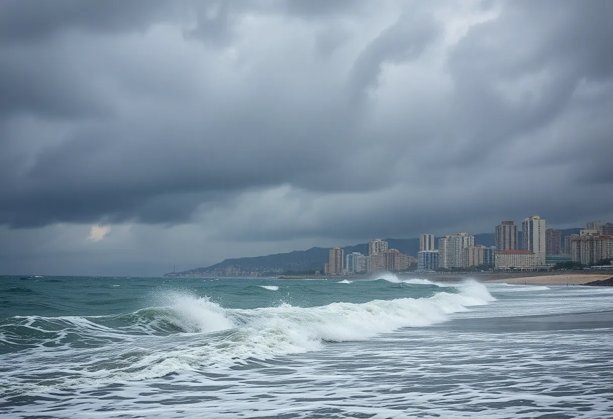
Charleston, South Carolina – The South Carolina Emergency Management Division (SCEMD) is closely monitoring Tropical Storm Chantal, which is currently located south-southeast of Charleston. The storm is expected to impact the region this weekend, bringing heavy rain, gusty winds, and elevated risks of flooding and hazardous rip currents.
Tropical Storm Chantal, with maximum sustained winds reaching 50 mph, is moving north at 8 mph. It is anticipated to make landfall early Sunday morning. A Weather Impact Alert has been issued for various parts of South Carolina, particularly the Midlands, which will experience the greatest effects from the storm overnight Saturday into early Sunday morning.
Rain is expected to persist through Sunday morning, with the strongest wind gusts forecasted to occur in the early hours of the day. Rainfall totals are estimated to be between 1 and 2 inches, with certain areas, especially the northeastern Midlands, possibly exceeding these amounts. In particular, heavy rain is expected in Clarendon, Kershaw, Lee, and Sumter Counties, raising concerns about flash flooding.
Available forecasts indicate that wind gusts could reach 25 to 30 mph in the Midlands on Sunday morning, while coastal regions may experience gusts exceeding 45 mph. There is also a heightened risk for dangerous rip currents, prompting advisories for beachgoers to stay out of the water while warnings are in effect.
Following midday on Sunday, rain chances are projected to decrease, although lingering gusty winds will remain a factor. As Chantal continues to drift northward, it is expected to weaken to a tropical depression by Sunday afternoon, with overall conditions improving by Sunday evening.
The potentially hazardous weather, including isolated minor flooding in low-lying or poorly drained areas, highlights the importance of preparation among residents. The SCEMD is working in tandem with the State Emergency Response team and local officials to address any immediate needs during this weather event.
Temperatures over the weekend are predicted to remain cool, hovering in the 80s on Sunday. However, the forecast suggests a significant uptick in temperatures to the mid to upper 90s beginning Monday and Tuesday, providing a stark contrast to the cooler conditions brought in by the storm.
As of now, there is no indication of tornado threats, and the storm is not expected to develop into a hurricane. Tropical Storm Chantal was designated as such around 8 a.m. on Saturday, previously categorized as Tropical Depression 3.
Residents are encouraged to stay informed about weather updates and to take necessary precautions as the storm approaches. Local authorities and emergency management agencies are actively preparing for the impacts of Chantal and remain vigilant in monitoring the situation. With varying degrees of impact expected across the state, community outreach and public safety measures are critical in mitigating risks associated with severe weather events.
Deeper Dive: News & Info About This Topic
HERE Resources
Tropical Storm Chantal Approaches South Carolina Coast
Charleston Braces for Impact from Tropical Storm Chantal
Additional Resources
- WLTX: Tropical Storm Chantal Forecast
- Wikipedia: Tropical Storm
- WACH: Impact of Tropical Storm Chantal
- Google Search: Tropical Storm Chantal South Carolina
- WLOS: South Carolina Braces for Tropical Storm Chantal
- Google Scholar: Tropical Storm Chantal
- The State: Tropical Storm Updates
- Encyclopedia Britannica: Tropical Storm
- WISTV: History of Tropical Storms
- Google News: Tropical Storm Chantal

Author: STAFF HERE LEXINGTON WRITER
The LEXINGTON STAFF WRITER represents the experienced team at HERELexington.com, your go-to source for actionable local news and information in Lexington, Fayette County, and beyond. Specializing in "news you can use," we cover essential topics like product reviews for personal and business needs, local business directories, politics, real estate trends, neighborhood insights, and state news affecting the area—with deep expertise drawn from years of dedicated reporting and strong community input, including local press releases and business updates. We deliver top reporting on high-value events such as Woodland Art Fair, Crave Food and Music Festival, and Railbird Festival. Our coverage extends to key organizations like Commerce Lexington and Blue Grass Community Foundation, plus leading businesses in education, manufacturing, and technology that power the local economy such as University of Kentucky, Toyota Motor Manufacturing, and Lexmark. As part of the broader HERE network, including HEREBowlingGreen.com and HERELouisville.com, we provide comprehensive, credible insights into Kentucky's dynamic landscape.


